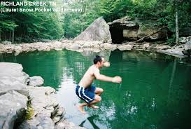
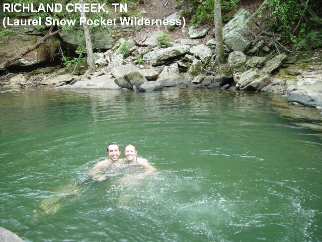
Imagine beautifully contoured trails following cool, deep coves that lead you on a journey past blue holes, historic ruins, roaring waterfalls and breathtaking overlooks. This natural area is named after two scenic waterfalls, Laurel Falls (80 feet) and Snow Falls (35 feet). The first 1.5 miles from the trailhead are generally easy walking along Richland Creek, past the entrances of old mines and a reservoir which once provided water to Dayton. When the trail forks, go right (east) for another 1.5 miles along Laurel Creek to reach Laurel Falls and the five star sport climbing area located there.

Laurel-Snow is located north of Dayton and is accessible via Highway 27/29. From the north turn right, and from the south turn left, onto Walnut Grove Road north of Dayton (new Eckerd Drug on corner). Proceed 3/4 of a mile to Back Valley Road (past La-Z-Boy factory) and turn left. On Back Valley Road, proceed 0.7 miles to an unmarked gravel road/Richland Creek Road (small white church on the left) and turn right. Proceed about 1 mile to the parking area at the end of Richland Creek Road.

